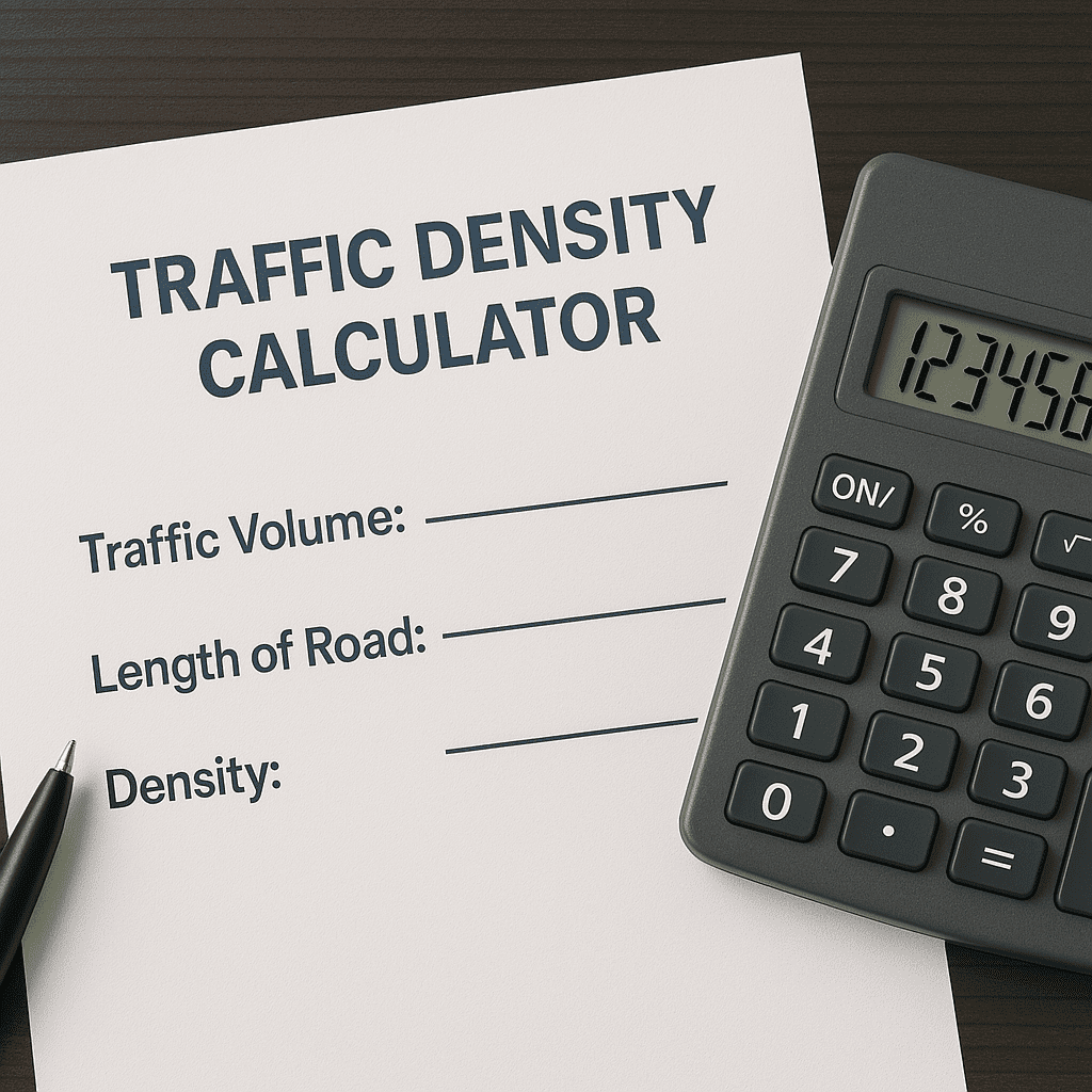
| Traffic Density Calculator |
Traffic Density Calculator
Calculate the number of vehicles per mile or kilometer on a road segment using traffic flow rate and average speed. Essential for transportation planning and congestion analysis.
Traffic Density Result
Calculation Formula
Traffic Density (D) = Traffic Flow Rate (Q) / Average Speed (v)
Where:
- D = Density (vehicles per mile/kilometer)
- Q = Flow rate (vehicles per hour)
- v = Average speed (mph or km/h)
Understanding Traffic Density
Traffic density measures how many vehicles occupy a unit length of roadway at a given time. It’s a crucial metric for:
- Assessing road congestion levels
- Planning transportation infrastructure
- Evaluating traffic flow efficiency
- Designing smart city solutions
Typical Traffic Density Values
Per Lane Density (vehicles/mile/lane)
- Free flow: < 12 vehicles
- Stable flow: 12-30 vehicles
- Unstable flow: 30-45 vehicles
- Congested flow: > 45 vehicles
Per Lane Density (vehicles/km/lane)
- Free flow: < 7.5 vehicles
- Stable flow: 7.5-18.6 vehicles
- Unstable flow: 18.6-28 vehicles
- Congested flow: > 28 vehicles
Traffic Density Calculator: A Practical Guide for Better Traffic Management
Traffic congestion is a growing problem in cities worldwide. Whether you’re a city planner, traffic engineer, or just a curious driver, understanding traffic density can help make roads safer and more efficient. A Traffic Density Calculator is a valuable tool that measures how many vehicles occupy a specific stretch of road at any given time.
In this guide, we’ll explore how to use this tool, its key benefits, and answer common questions about traffic density analysis.
How to Use a Traffic Density Calculator
Calculating traffic density is straightforward. Here’s a step-by-step breakdown:
- Measure the Road Length – Determine the distance of the road segment you’re analyzing (in miles or kilometers).
- Count the Vehicles – Record the number of vehicles present on that stretch at a given time.
- Set the Time Frame – Choose whether you’re measuring per hour, per day, or another interval.
- Run the Calculation – The Traffic Density Calculator will determine how many vehicles occupy each unit of distance (e.g., 25 cars per mile).
- Apply the Data – Use the results to identify congestion hotspots and improve traffic flow.
This tool is especially useful for city planners, transportation agencies, and logistics companies looking to optimize routes.
Why Traffic Density Matters: Key Benefits
Understanding traffic density isn’t just about counting cars—it helps solve real-world transportation challenges. Here’s why it’s important:
✅ Reduces Congestion – By identifying high-density areas, cities can adjust signal timings or add lanes where needed.
✅ Improves Emergency Response Times – Fire trucks and ambulances can use low-density routes to avoid delays.
✅ Lowers Fuel Consumption & Pollution – Less stop-and-go traffic means fewer emissions and better air quality.
✅ Enhances Public Transit Efficiency – Buses can be rerouted based on real-time density data.
✅ Supports Smart City Projects – AI-powered traffic systems rely on density metrics to automate signals.
✅ Makes Roads Safer – High-density zones can get better signage, crosswalks, and speed controls.
✅ Saves Money on Infrastructure – Instead of widening entire highways, planners can target only the busiest sections.
✅ Helps Businesses with Logistics – Delivery companies optimize routes to avoid traffic jams.
✅ Improves Event Traffic Management – Concerts and sports games can use density tracking to direct crowds.
✅ Prepares for Future Growth – Long-term traffic trends help cities plan new roads and transit options.
Frequently Asked Questions (FAQs)
1. How is traffic density different from traffic volume?
Traffic volume counts how many cars pass a point (like an intersection), while density measures how many are packed into a road segment at once.
2. Can this tool predict traffic jams?
Yes! By analyzing real-time data, the calculator can forecast where backups are likely to form.
3. Is it useful for highways and city streets?
Absolutely—highways, downtown grids, and even bike lanes can benefit from density analysis.
4. How often should traffic density be checked?
For accurate trends, regular monitoring (daily or weekly) is best.
5. Does bad weather affect density readings?
Yes, rain or snow often slows traffic, increasing density as cars bunch up.
6. Do GPS apps like Google Maps use this data?
Many navigation apps use similar calculations to suggest faster routes.
7. Can it help with self-driving cars?
Autonomous vehicles rely on real-time density data to navigate safely.
8. What’s the ideal traffic density for smooth flow?
It varies, but generally, fewer than 30 vehicles per mile keeps traffic moving well.
9. Where can I find a free Traffic Density Calculator?
Some city transportation websites and traffic research tools offer free versions.
10. How does construction impact density?
Closed lanes force cars into tighter spaces, increasing density and delays.
Final Thoughts
A Traffic Density Calculator is more than just a number-crunching tool—it’s a key part of building smarter, safer, and more efficient roads. Whether you’re a driver tired of sitting in traffic or a planner designing future transit systems, understanding density helps everyone move better.
By using this tool effectively, cities can reduce congestion, cut pollution, and create transportation networks that work for everyone.